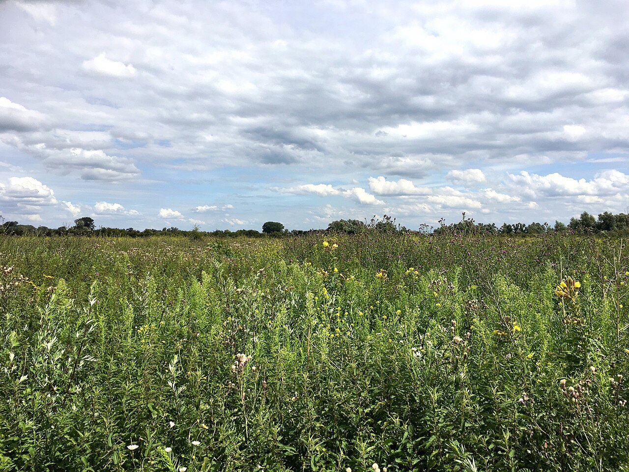
The Ooijpolder near Nijmegen can be read as an open cultural landscape. Paths between water, meadows and settlements do not all serve the same purpose. Vereniging Nederlands Cultuurlandschap publishes walking information for the area. A local map of this kind helps distinguish deliberately available connections from field entrances and build a walk around the routes that actually exist.
Use hedges and margins for orientation
In open country, individual tree lines or hedges form conspicuous lines. They may divide properties, direct the view or connect habitats. Notice whether a path crosses these lines or follows them. A stretch beside a dense hedge provides a different experience from an exposed track with a broad horizon.
At a stop, do not ask only what lies in the distance. Examine the immediate transition between path and field: a narrow grass strip, ditch, row of shrubs or fence. Such details explain how the landscape is divided. They can be examined without entering worked ground or picking plants.
Make sure a circuit genuinely connects
A nearly complete circle on a screen can fail at a ditch or an unavailable connection. Use a published route or check every necessary link separately. Small walking paths may have particular access conditions, including rules concerning dogs. Consult current local information instead of borrowing the rules from a neighbouring dyke path.
For a first circuit, choose a start that will be easy to recognise on returning. Record a nearby settlement name as well. If orientation becomes uncertain, return to the last confirmed junction. A shorter walk is preferable to an improvised shortcut across a damp meadow.
Weather beneath an open horizon
A wide view also means limited shelter from wind and sun. Plan water and clothing around the time spent outside, rather than only the air temperature at the parking place. A stop should be accessible and suitable for lingering; a farm entrance is not a sitting area simply because it looks sheltered.
For a second visit, walk the same permitted circuit in the opposite direction. Light and sightlines change without requiring a new route. Afterwards, compare which elements caught your attention first: water, houses, hedges or distant higher ground. The Ooijpolder becomes understandable as a divided living and working landscape, rather than a broad green background in a photograph. Keeping one wide photograph from a fixed public point also helps distinguish seasonal vegetation changes from differences caused simply by looking in another direction.