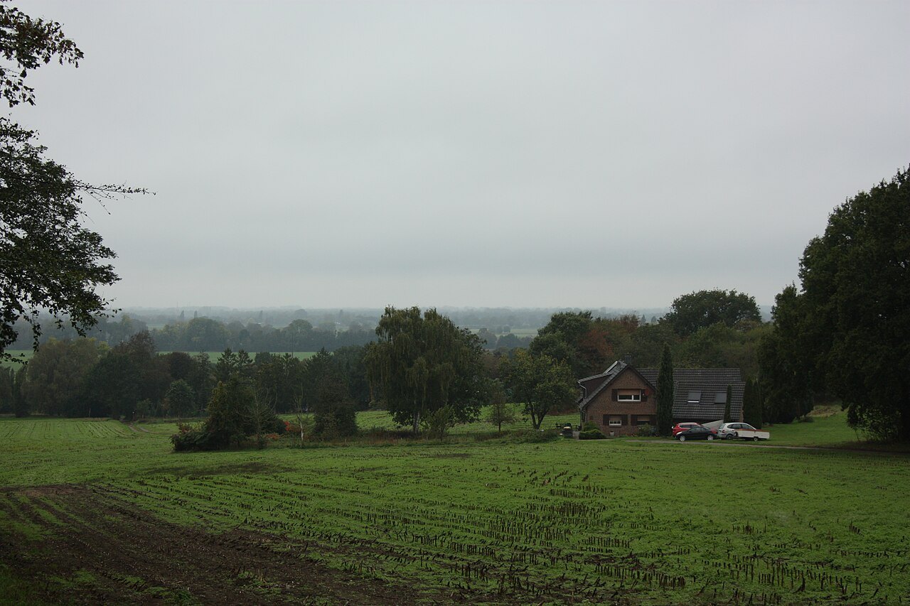

Hoch-Elten suits visitors who want to see the Lower Rhine from above. The height difference can look minor on an overview map, yet it determines the character of the walk. Starting near the top produces a different outing from walking up from Elten. Both options can work; they simply require different allowances for time and effort.
Choose the starting point deliberately
The official A6 circuit description starts in Hoch-Elten and passes viewpoints beside St Vitus, among other places. It also mentions arriving by train at Elten. This does not mean that the station stands directly beside the hilltop route. Add the connection between your arrival point and the actual route start to the plan. After a train journey, that approach may account for more of the day's walking than expected.
For a group with mixed abilities, starting near the upper area can make the outing easier to assess. Even there, check surfaces, possible steps and the distance from parking or a transport stop to the intended viewpoint. Reaching the top does not automatically make every subsequent path level or step-free. If someone needs step-free access, confirm the specific connection beforehand.
A viewpoint does not guarantee distant visibility
A viewing place offers a direction of view, not a weather guarantee. Haze can hide distant details while nearby changes in ground level remain clear. Begin with the foreground: where does the slope fall away, where does the plain open out, and which lines cross the landscape? Only then search for distant landmarks.
For a photograph, retain a fixed reference within the frame. Sky above a thin horizon barely explains the elevated position. Part of the slope, a tree or a recognisable edge in the terrain communicates the location more effectively. Use accessible standing places only; stepping beyond a barrier does not make an uncertain edge safe.
Treat church and landscape as separate stops
St Vitus provides an architectural reference point for the visit. Looking at the exterior can be planned independently of entering the church. An interior visit depends on opening arrangements, services and local instructions. Do not assume the church is always open or that a tower can be climbed freely.
One possible sequence begins with a brief orientation stop, continues along the chosen walking section and finishes with a quiet pause in the village. This is often more comfortable than standing still for a long time immediately after climbing. Anyone arriving warm and sweaty may want a dry additional layer for the pause. Walking temperature tells you little about how wind will feel at a viewpoint.
The descent is still part of the outing
Keep some concentration for the return. Wet leaves, a gradient and a tight train connection can combine to make an initially straightforward path awkward. Do not calculate the return using the fastest pace achieved on the outward walk. If time becomes short, omit an extra detour rather than compromising a comfortable walking speed.
Afterwards, consult the map to establish which parts of the plain were actually visible. Distinguish a suspected landmark from an identification you can confirm. This small review helps explain how one elevated ridge changes the view of an otherwise apparently flat region, and gives a future visit a more specific purpose than simply reaching the same viewpoint again.