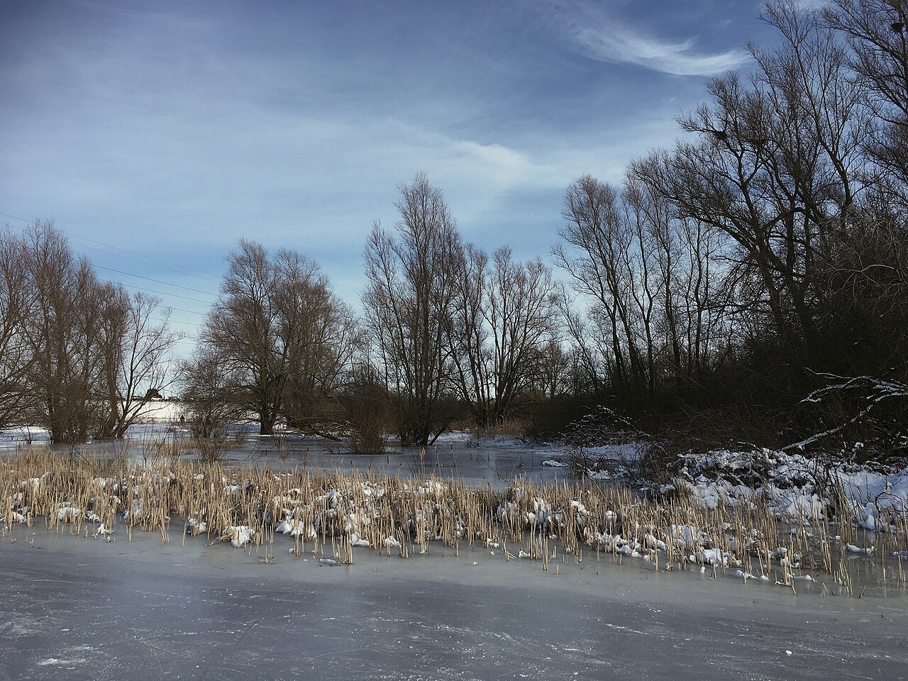
De Gelderse Poort is not one park with a central entrance. The name appears in connection with several river landscapes in the German-Dutch border region. This can create a planning mistake: a broad search term produces an attractive photograph without necessarily identifying a suitable starting point. Choose a specific area and type of outing before deciding how to reach it.
One landscape, several ways to visit
Staatsbosbeheer presents the Gelderse Poort as a river landscape. Individual areas nevertheless differ in paths, access and sensitivity to water levels. A surfaced dyke path, an observation point and an area where roaming is allowed are not interchangeable facilities. Instructions at a particular entrance apply to that place and cannot be extended to the whole landscape.
A useful selection question is whether you want mainly to walk, spend time observing, or link several places by bicycle. For quiet observation, a readily accessible fixed position matters more than a lengthy route. For a walk, surfaces, crossings and the return journey determine suitability. Cycling additionally requires confirmation that the selected connections permit bicycles.
Water does not stop at the border
An overview map helps show how rivers and low-lying ground connect across political boundaries. At the same time, conservation rules and visitor facilities are organised locally. A sign on the German side does not replace information about a Dutch area. Read the current page of the responsible manager and the instructions on arrival.
Record the place name using its local spelling. This helps when searching for transport stops, parking and temporary notices. Two similar names may describe different entrances. Save the return connection too; changing spontaneously to the other side of a river can take much longer than expected because of bridge locations or ferry operation.
A manageable first visit
For an introduction, one area with a clear turning point is enough. Consider three elements together: the river itself, the lower ground alongside it and the dyke that protects or bounds land. They need not all be visible from one position. A map supplements the view without inventing access where none exists.
If water or weather limits the planned circuit, choose another permitted connection or turn back. A landscape this extensive does not need to be completed in a single day. A short, carefully observed section that you can later locate on the overview map is more informative. It provides a basis for deliberately comparing a different landscape type next time, rather than returning with another collection of place names whose relationships remain unclear.