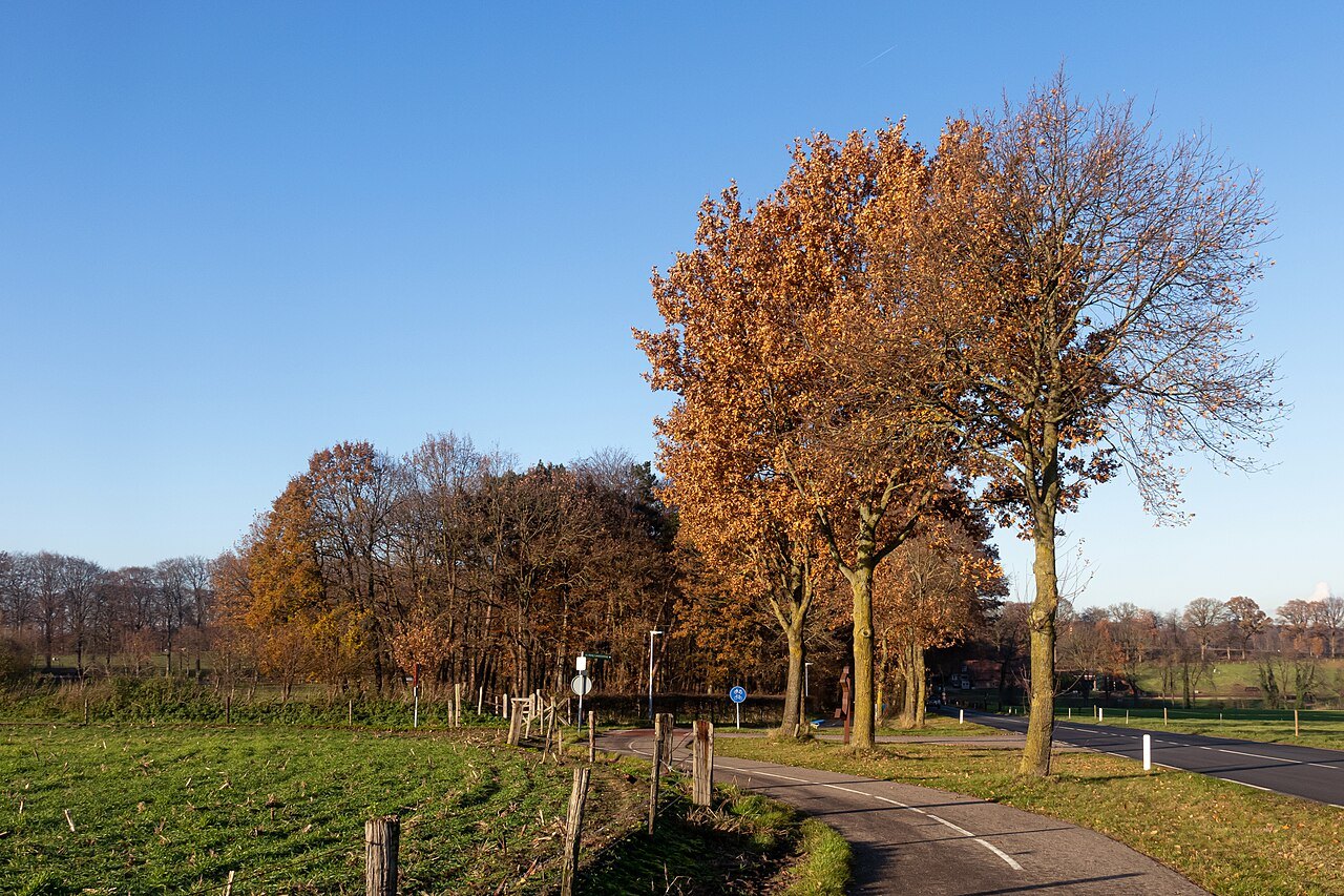

Arriving in Berg en Dal from the flat Düffel landscape adds a new consideration: climbing. A short path here may require more effort than a longer polder circuit. Berg en Dal also names both a village and a larger municipality. A search result carrying that name is therefore not necessarily close to your intended starting point. Locate the actual entrance or trailhead on a map before linking two destinations.
A landscape that rises and falls
The regional tourism organisation presents wooded hills and lower river floodplains as distinct parts of the same area. For a woodland day, choose a coherent section of higher ground. For broad horizons and gentler gradients, select a route specifically described that way in the lowlands. The straight-line distance between the two says little about the climbing involved.
The Zevenheuvelenweg links Groesbeek and Berg en Dal. Its name makes the hills famous but does not replace a walking map. The municipality even explains how its seven rises are counted. A photograph of an undulating, tree-lined road illustrates the landscape, rather than demonstrating a continuous pedestrian route. Use a designated walk and examine any road crossings before setting off.
Choosing the N70 or a different walk
The N70 is a named trail through this hill country. The official tourism description gives a length of 16 kilometres across eight rises called mountains. Treat that as a walk in its own right, rather than an extra after a town visit. Consider surfaces, ascent, daylight and the least experienced member of the group alongside distance.
A useful question for a mixed group is whether everyone can climb again after going downhill. A rest at the lowest point does not remove that climb. If the answer is uncertain, choose a shorter published alternative or a different circuit from the outset. An improvised shortcut through woodland may encounter a steep slope, private ground or a path that does not exist.
After rain, supportive footwear becomes particularly helpful. Leaves hide roots and a descending woodland track needs more attention than its dry equivalent. Stop completely at a wide place before taking photographs. When children walk ahead, agree to regroup at junctions; bends and trees break visual contact much faster than an open embankment does.
Roman engineering without a surviving channel
The Roman aqueduct in the Berg en Dal area offers another way to read this terrain. The regional account describes artificially shaped valleys and embankments used to supply Roman Nijmegen. The wooden water channel has not survived. Anyone expecting a monumental stone bridge is consequently looking for the wrong kind of structure.
The more revealing question is how a steady gradient could be maintained across uneven ground. At an interpreted stop, compare the landforms with a diagram of the former route. Without an explanation, do not identify every bank as Roman. For children, try a thought experiment: which direction would water flow from this position, and which hollow would a channel need to cross?
Two different days in the hills
A walking-focused visit needs only one selected woodland route with generous breaks. Keep the village stop modest and plan transport from the actual finishing point. For a heritage-focused visit, a deliberate section near the aqueduct makes more sense than adding the entire N70. Both approaches use the hillside landscape, but they require different commitments.
Save your map before starting and identify an unmistakable return point. If ground conditions or weather deteriorate, shorten the outing using a known connection while that remains straightforward. The number of hills completed is not the measure of the day. A landscape you have had time to understand is more memorable than a circuit whose final half is governed entirely by the clock.