
The Niers cycle route connects the Mönchengladbach area with the lower river and Gennep in the Netherlands. The official folding map published by the Kleve district development agency shows its alignment. For a day trip, select one section rather than assuming the name guarantees continuous riding at the water's edge. The river remains the theme even when the route passes through settlements or uses connections farther away.
Choose a section around a specific river location
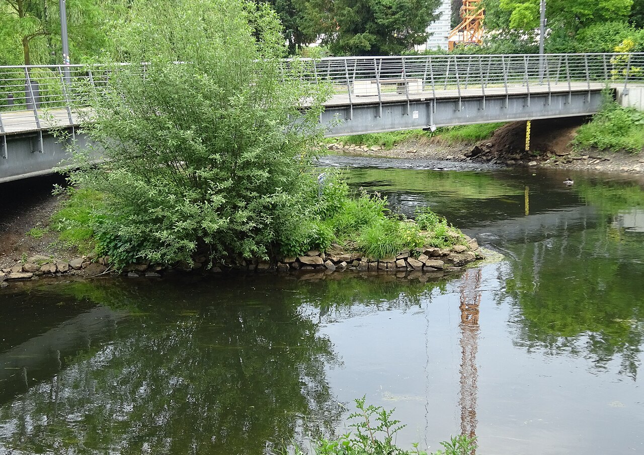
Goch or Gennep can provide geographical anchors for a lower-river visit. Check the current map to see where the cycle route runs and which public locations offer views of the Niers. A photograph of the river in Goch shows a possible landscape connection, not the surface or character of the whole stage.
Select a clear start and turning point or a confirmed return connection. One river section with a substantial pause is often enough for a short outing. If adding several town visits, include their approach distances and stops. The distance between place names is not the door-to-door length of your day.
Water on a map and water in view
A cycle route can run behind trees while the Niers is only a few metres away. Elsewhere, an accessible bridge offers a clear view along the water. Stop only where other people can pass. Do not use private jetties or meadows to obtain a closer view.
Distinguish a designated cycling connection from a narrow riverside footpath. A navigation application may display a link whose permissions or surface do not suit your bicycle. Follow the intended cycling alignment and local signs. A small detour on an appropriate path is preferable to pushing through an unauthorised shortcut.
Treat landscape changes as part of the ride
The official route links different settlements and rural sections. Compare how the river sits in each: close to buildings, behind a meadow or beside a strip of trees. One deliberate stop can explain these differences better than frequent attempts to photograph while moving.
Towards the end, check that the return still matches remaining energy and daylight. A following wind on the outward leg should not set expectations for the second half. Shortening at a predetermined point prevents a quiet river outing from becoming a rushed journey home. Afterwards, record which section actually offered water views. That memory is useful when planning another visit with different expectations, particularly if companions want observation time rather than a longer uninterrupted cycling stage.