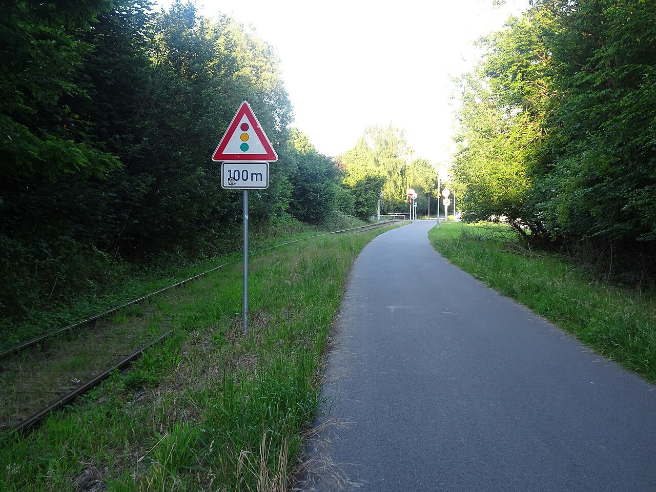

The Europa-RadBahn connects the Kleve and Kranenburg area with the cross-border cycling network towards Nijmegen. Its name provides a useful reference, but does not establish where your own day begins and ends. A short ride to Kranenburg, continuing into the Netherlands and riding the whole way out and back are different plans. Decide which fits your time and ability first.
Separate the main connection from the day's destinations
Mark the access to the RadBahn, the intended turning point and any additional stops. A detour into a town centre or attraction is not negligible merely because it looks close on an overview map. Count the journey there and back. Tiergarten Kleve, for example, specifically identifies its position on the RadBahn, but visiting still requires separate time and somewhere appropriate to secure bicycles.
For a cross-border ride, check the actual continuation on a current cycling map. Do not expect every connecting section to have exactly the same width, layout or signs as the familiar German section. Joining a local network is an ordinary part of the trip that deserves attention.
A direct connection carries different users
A convenient cycling connection also serves everyday journeys. Visitors, commuters and riders at different speeds share the space. Ride predictably, check behind before overtaking and allow sufficient room. Stop somewhere suitable to read a map or take a photograph rather than drifting slowly from side to side.
At crossings, follow the signs and signals actually displayed. A comfortably designed route does not establish automatic priority at every junction. Agree with less experienced companions that the group will regroup safely after a crossing. Nobody needs to follow the rider ahead without assessing the situation.
Decide the return before setting out
Returning by the same route doubles the distance and requires considering wind in both directions. Begin the return with a reserve. If planning to use public transport, check the actual service and bicycle-carriage arrangements; a bus line on a map is not an automatic way to transport a bicycle.
For an introductory ride, a clear turning point can be more comfortable than a distant city destination. Pause there and assess time, energy and, where relevant, battery charge. Only then decide whether to extend. The RadBahn provides a clear geographical framework while the day's scale and pace remain suited to the group. Record the chosen access point too, so that returning to the main route does not leave a final, unplanned search for the car, accommodation or station.