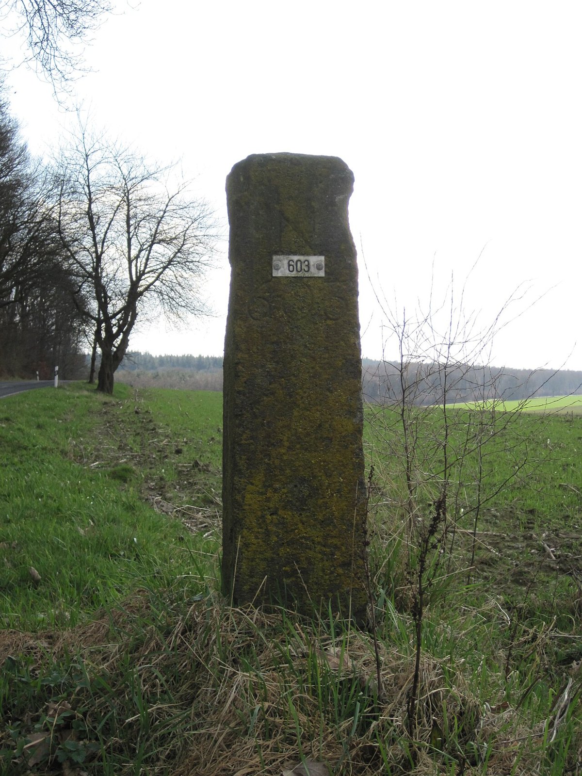

Around Kranenburg, a cycle ride can connect German and Dutch places without the landscape changing abruptly at the border. Local tourism information describes cross-border cycling options and the junction network. For an independent outing, the border is therefore both a specific line on the map and a subject for observation. It need not be marked by a large crossing or conspicuous building.
Choose a crossing on a suitable route
Select a confirmed cycling connection and mark where it crosses the border. A political line through woodland or fields is not a freely rideable path. If you want to see a particular boundary stone, check its position and access separately. A photograph of a marker does not prove that a direct approach is permitted from every side.
Border markers around Kranenburg can provide a reason for a brief stop. Read visible numbers or symbols without immediately interpreting them as dates or distances. A historical explanation needs an appropriate local source. Leave markers unchanged and remove neither vegetation nor soil to expose an inscription.
Observe changes rather than demanding them
Signs, path markings or the spelling of place names may change. Alternatively, almost everything may initially appear the same. Record specific observations, such as the design of one sign at one crossing. They do not establish that every road in the neighbouring country looks identical or that the same priority arrangement applies everywhere.
Read traffic signs and assess local rules afresh at each junction. A familiar-looking cycle path can follow a different alignment, while a coloured surface alone does not explain the entire traffic situation. If the layout is unclear, stop somewhere suitable and establish your position before continuing.
Prepare the return without language puzzles
Save place names using the spelling on the relevant map. This makes stops, addresses and signs easier to find. Do not automatically assume that an identical junction number belongs to the same network on the return. Region and neighbouring place names provide the necessary context.
Check the whole circuit, including any transport and opening arrangements for planned stops. Crossing the border does not by itself make an outing complicated, but both sides need the same specific preparation. Afterwards, compare changes actually noticed with those merely expected. The border becomes a question to ask of the landscape rather than a collection of hasty national contrasts. A photograph of a marker can then sit beside an ordinary field or road view and show how administrative divisions and everyday surroundings coexist.